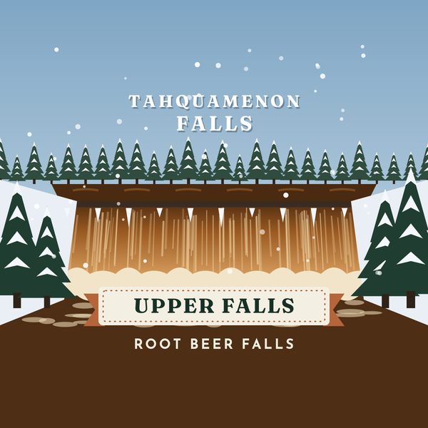
Tahquamenon Falls State Park covers nearly 50,000 acres and stretches more than 13 miles in Michigan's Upper Peninsula. The Michigan DNR manages it. 1
What to see
The Upper Falls is a waterfall the DNR describes as more than 200 feet wide. The river looks amber from tannins in the surrounding swamps, and the water can look foamy at the base. 1 About four miles downstream, the Lower Falls is a set of smaller cascades around an island. The DNR lists viewing from the riverbank, the Ronald A. Olson Island Bridge and, when the river allows, rented rowboats. 1 A new accessible boardwalk to the Upper Falls is open. 1 The North Country Trail travels 16 miles inside the park. 1
Best seasons
The park is used year-round. Summer and fall bring the day-use areas, hiking and, when the river allows, rowboats at the Lower Falls from Memorial Day weekend to mid-October. 1 Winter means groomed ski trails and marked snowshoe trails; those details are on our Winter page. 1
How to get there
The DNR lists the park at 46.610734, -85.206323. Day-use areas sit at the Upper Falls and the Lower Falls. Mapping addresses on the park page include 6999 N. Lower Campground Lane, Paradise, MI 49768 for the Lower Falls campground. 1 A Recreation Passport is required for motor vehicles entering Michigan state parks. 2
Tips
- The Upper and Lower Falls are separate day-use areas, about four miles apart on the river. 1
- A fee-based shuttle between the falls is listed on the DNR page when it is running. Hours change; read that page. 1
- Pets on a 6-foot leash are allowed on trails and viewing platforms. Keep them off groomed ski trails in winter. 1
- Drone use is not allowed on or above the viewing platforms. 1
Safety
Water at the brink is fast and cold. This page does not report today's flow, ice or trail closures. Use the DNR Tahquamenon Falls park page for current notices before you drive. 1