Mackinac Island State Park was established in 1895. For twenty years before that the island had been Mackinac National Park. Today more than 80 percent of the island is state park land, most of it left in a natural condition. Mackinac State Historic Parks manages it. 1
What to see
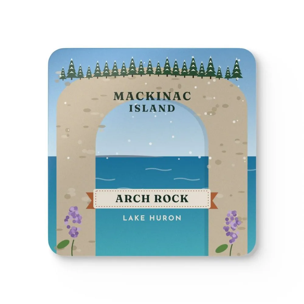
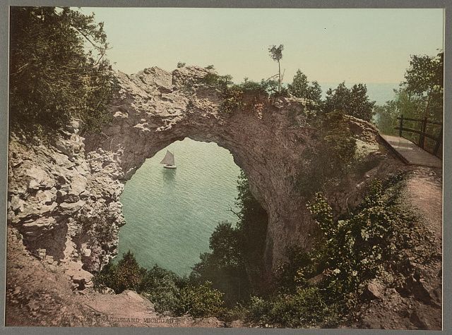
The park lists Fort Mackinac, Marquette Park, Arch Rock, Sugarloaf Rock, British Landing and Fort Holmes among its landmarks. 1 Sites are reached on foot or by bike, horse, buggy, sightseeing carriage or horse-drawn taxi. 1 The park has 70.5 miles of signed roads and trails, some paved, some shared with horses, some better for walking only. 1 The Milliken Nature Center sits at Arch Rock. The visitor center is downtown at 7165 Main St. 12
Best seasons
The park itself is open 24 hours a day, every day of the year. Buildings, restrooms and historic sites have seasonal hours. The park posts those dates on its hours page; they change from year to year, so they are not copied here. 13
How to get there
The island is reached by ferry or by airplane. The Mackinac Island Airport, run by the Mackinac Island State Park Commission, has a 3,500-foot paved runway and is open year-round. The park says it is the only link with the mainland in the coldest part of winter. 12 Ferry names and times belong on the carrier you choose, not here.
Tips
- Start at the visitor center when it is open, 7165 Main St., across from Marquette Park. 1
- Arch Rock is at 6131 Arch Rock Rd. 1
- Some trails are shared with horses. Give them room. 1
- Historic buildings and nature centers close for the winter. The hours page is the source. 3
Safety
Trails, stairs and limestone overlooks are uneven. This page does not report today's wind, ice or building closures. Read the Mackinac Island State Park page and the seasonal hours page before you go. 13