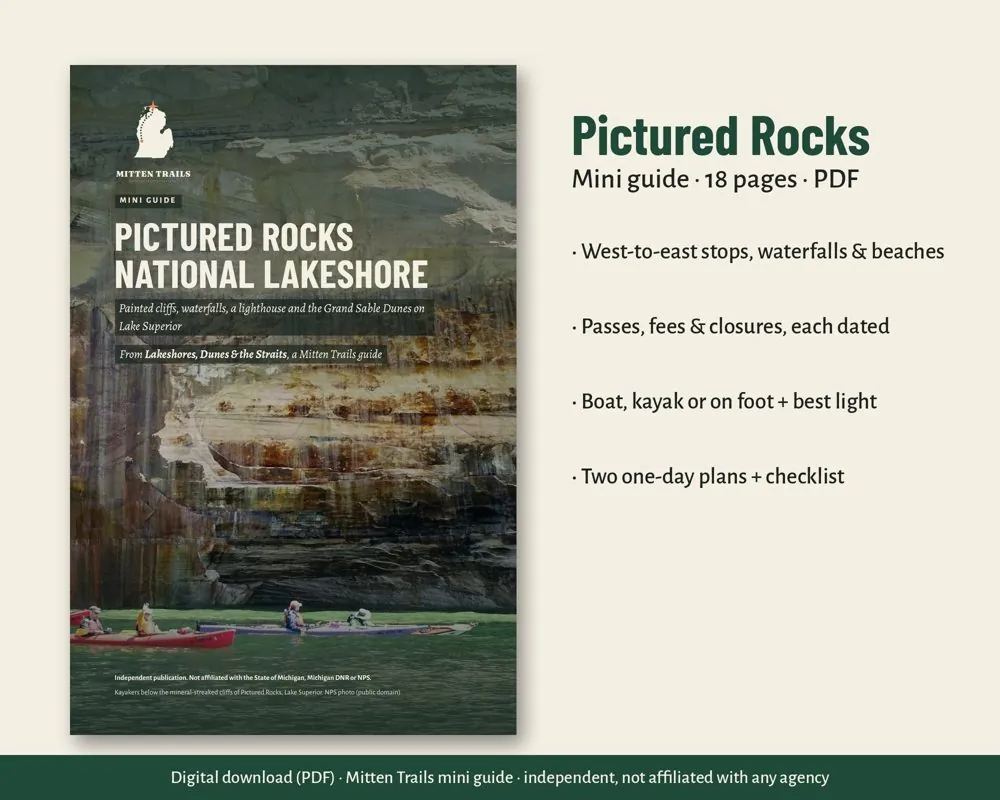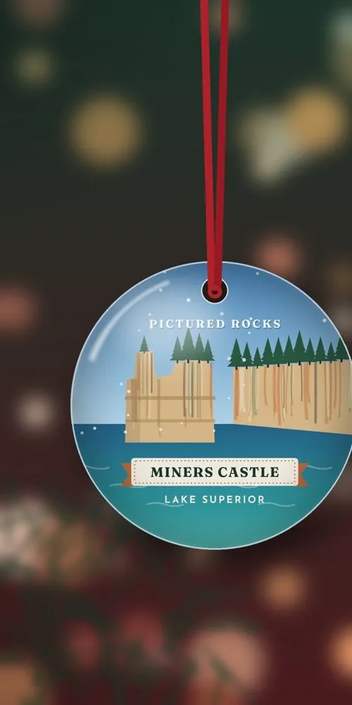
This is the Pictured Rocks trip we sell as a mini guide on Etsy. The PDF holds the maps and the day plans. This page is the sourced web version: a short look at Miners Castle, the waterfalls, Au Sable Light and the Grand Sable Dunes. What is open that day belongs on the park pages, not here.
The full place page is Pictured Rocks National Lakeshore. 1
Miners Castle
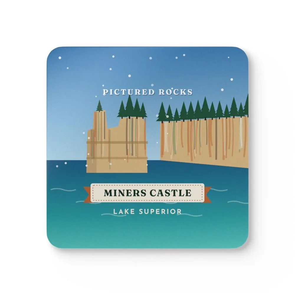
Miners Castle is the best-known cliff on this shore, and the park says it is the only cliff area you can reach by car. 4 A short paved trail from the parking lot leads to overlooks of Lake Superior and Grand Island. Stairs and a steeper path go down to the lower overlook beside the rock. 4 A rockfall in 2006 dropped one of the two turrets into the lake. 4 Leashed pets are allowed on the paved trails, at the overlooks and in the picnic area. 4
Waterfalls
The park names several falls. Miners Falls is the most powerful: the Miners River drops about 50 feet over sandstone. The walk from the lot is 0.6 miles one way, with 64 steps down to the lower platform. 5 Sable Falls drops 75 feet on its way to Lake Superior; the best view is from the bottom of a 168-step stair. 5 Bridalveil Falls is seasonal, fed by snowmelt and spring rain, and often slows to a trickle in a dry summer. The park says it is best seen from the water, or in the distance from the lower Miners Castle overlook or the west end of Miners Beach. 5 Munising Falls is the short paved walk near the visitor center. Trail status changes. Use the current conditions page. 7
Au Sable Light Station
The light sits on the eastern lakeshore. You walk 1.5 miles one way from the day-use parking at Hurricane River Campground, on the old Coast Guard access road. 6 The park dates families at the station from 1874 to 1958. Shipwreck remains show on the beach below the trail. 6 Guided climbs are offered in season. Days and whether a climb is running belong on the Au Sable page, not here. 6 Pets are allowed on the access road and the station grounds. Bicycles are not. 6
Grand Sable Dunes
At the Grand Marais end of the lakeshore, the Grand Sable Banks and Dunes stand more than 300 feet above Lake Superior. Five square miles of dune sit on those banks. 4 The park limits how you walk in. The Grand Sable Dunes Trail is 0.6 miles round trip from the Sable Falls parking area, partly uphill in soft sand, to the open dunes. 4 Pets are not allowed on that trail. 4
How to get there
Michigan highways M-28 and M-94 lead to Munising. M-77 leads to Grand Marais. Alger County Road H-58 runs through the lakeshore. 3 The park asks drivers to route to the Munising Falls Visitor Center, 1505 Sand Point Road, Munising, Michigan, 49862, not to a generic park search, and not to rely on GPS inside the park. 23 A second visitor center is on H-58, two miles west of Grand Marais. 3
Tips
- Carry a paper map. The park says GPS and mapping apps do not work well here. 23
- Some park roads have length limits for large vehicles. They are posted on the directions page. 3
- The printed mini guide is the plan you carry. This page is only the sourced overview.
Safety
Lake Superior, the cliffs and changing roads are the hazards the park names. This page does not report today's fog, ice or trail closures. Read the place page and the NPS current conditions page before you leave. 7